
AEOLOS
Cargo
Current Trip
| Time Travelled | 29 days |
|---|---|
| Remaining Time | --- |
| Distance Travelled | 3891.59 nm |
| Remaining Distance | --- |
| AVG Speed | 11.6 Knots |
| MAX Speed | 11.6 Knots |
| AVG Wind | 10.9 knots |
| MAX Wind | 23.6 knots |
| MIN Temp | 10.8°C / 51.44°F |
| MAX Temp | 25.7°C / 78.26°F |
| Draught | 12.8 m |
| Position Received | 6 h, 41 m ago |
Current Position
| Longitude | 29.71567° |
|---|---|
| Latitude | 31.24917° |
| Status | At anchor |
| Speed | 0.1 Knots |
| Course | 281° |
| Area | Mediterranean Sea - Eastern Basin |
| Station | T-AIS |
| Position Received | 6 h, 41 m ago |
Info
Information
The current position of AEOLOS is in Mediterranean Sea - Eastern Basin with coordinates 31.24917° / 29.71567° as reported on 2024-06-08 17:26 by AIS to our vessel tracker app. The vessel's current speed is 0.1 Knots
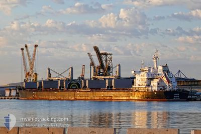
The vessel AEOLOS (IMO: 9670901, MMSI: 636016600) is a Cargo It's sailing under the flag of [LR] Liberia.
In this page you can find informations about the vessels current position, last detected port calls, and current voyage information. If the vessels is not in coverage by AIS you will find the latest position.
The current position of AEOLOS is detected by our AIS receivers and we are not responsible for the reliability of the data. The last position was recorded while the vessel was in Coverage by the Ais receivers of our vessel tracking app.
The current draught of AEOLOS as reported by AIS is 12.8 meters
Weather
| Temperature | 24.1°C / 75.38°F |
|---|---|
| Wind Speed | 14 knots |
| Direction | 294° WNW |
| Pressure | 1006.8 hPa |
| Humidity | 81.1 % |
| Cloud Coverage | --- |
Featured Company
Last Trips
Events
| Time | Event | Details | Position / Dest | Info |
|---|---|---|---|---|
| 2024-06-08 17:35 | Status Changed | Default At anchor |
31.24925 / 29.71568
EGEDK
|
Speed: 0.1 kn Course: 281° |
| 2024-06-08 17:26 | Status Changed | At anchor Default |
31.24917 / 29.71567
EGEDK
|
Speed: 0.1 kn Course: 282° |
| 2024-06-08 17:26 | OUT of Coverage |
31.24917 / 29.71567
Mediterranean Sea - Eastern Basin
|
Speed: 0.1 kn Course: 347.8° |
|
| 2024-06-08 17:23 | Status Changed | Default At anchor |
31.24908 / 29.71568
EGEDK
|
Speed: 0.1 kn Course: 281° |
| 2024-06-08 17:20 | Status Changed | At anchor Default |
31.24904 / 29.71569
EGEDK
|
Speed: Course: 277° |
| 2024-06-08 17:02 | Status Changed | Default At anchor |
31.24916 / 29.71570
EGEDK
|
Speed: Course: 270° |
| 2024-06-08 16:56 | Status Changed | At anchor Default |
31.24927 / 29.71574
EGEDK
|
Speed: 0.1 kn Course: 275° |
| 2024-06-08 16:47 | Status Changed | Default At anchor |
31.24932 / 29.71567
EGEDK
|
Speed: 0.1 kn Course: 279° |
| 2024-06-08 16:05 | Status Changed | At anchor Default |
31.24905 / 29.71567
EGEDK
|
Speed: Course: 281° |
| 2024-06-08 16:05 | IN Coverage |
31.24905 / 29.71567
Mediterranean Sea - Eastern Basin
|
Speed: 0.1 kn Course: 3.3° |