
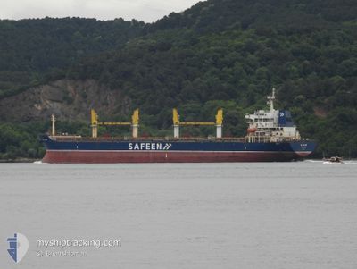
AL SAAD
Bulk Carrier
Current Trip
AE FJR>IN MUN
| Time Travelled | 7 days |
|---|---|
| Remaining Time | --- |
| Distance Travelled | 1368.36 nm |
| Remaining Distance | --- |
| AVG Speed | 6.9 Knots |
| MAX Speed | 13.4 Knots |
| AVG Wind | 20.2 knots |
| MAX Wind | 24.2 knots |
| MIN Temp | 22.9°C / 73.22°F |
| MAX Temp | 27.1°C / 80.78°F |
| Draught | 12.5 m |
| Position Received | 2024-04-26 14:41 |
Current Position
| Longitude | 57.31653° |
|---|---|
| Latitude | 25.06083° |
| Status | Under way using engine |
| Speed | 11.3 Knots |
| Course | 102.2° |
| Area | Gulf of Oman |
| Station | T-AIS |
| Position Received | 2024-04-26 14:41 |
Info
Information
The current position of AL SAAD is in Gulf of Oman with coordinates 25.06083° / 57.31653° as reported on 2024-04-26 14:41 by AIS to our vessel tracker app. The vessel's current speed is 11.3 Knots
The vessel AL SAAD (IMO: 9436111, MMSI: 538010022) is a Bulk Carrier that was built in 2010 ( 14 years old ). It's sailing under the flag of [MH] Marshall Is.
In this page you can find informations about the vessels current position, last detected port calls, and current voyage information. If the vessels is not in coverage by AIS you will find the latest position.
The current position of AL SAAD is detected by our AIS receivers and we are not responsible for the reliability of the data. The last position was recorded while the vessel was in Coverage by the Ais receivers of our vessel tracking app.
The current draught of AL SAAD as reported by AIS is 12.5 meters
Weather
| Temperature | 25°C / 77°F |
|---|---|
| Wind Speed | 9 knots |
| Direction | 128° SE |
| Pressure | 1020 hPa |
| Humidity | 57.5 % |
| Cloud Coverage | 51 % |
Featured Company
Last Port Calls
| Port | Arrival | Departure | Time In Port |
|---|---|---|---|
| 2024-06-04 08:47 | 2024-06-09 20:40 | 5 d | |
| 2024-05-24 17:30 | 2024-05-28 07:13 | 3 d | |
| 2024-04-29 17:18 | 2024-05-02 22:11 | 3 d | |
| 2024-04-23 19:34 | |||
| 2024-04-08 09:02 | 2024-04-12 11:31 | 4 d | |
| 2024-04-01 04:54 | 2024-04-04 10:09 | 3 d |
Last Trips
| Origin | Departure | Destination | Arrival | Distance | |
|---|---|---|---|---|---|
| 2024-05-28 09:13 | 2024-06-04 11:47 | 1750.17 nm | |||
| 2024-05-03 03:41 | 2024-05-24 19:30 | 3879.51 nm | |||
| 2024-04-23 22:34 | 2024-04-29 22:48 | 1263.38 nm | |||
| 2024-04-04 14:09 | 2024-04-08 14:32 | 1014.54 nm | |||
| 2024-03-29 20:42 | 2024-04-01 08:54 | 350.53 nm |
Events
| Time | Event | Details | Position / Dest | Info |
|---|---|---|---|---|
| 2024-06-10 06:18 | START Moving | 21.08 nm, East of MOMBASA |
-4.03173 / 39.99152
AE FJR>IN MUN
|
Speed: 4.2 kn Course: 207° |
| 2024-06-10 06:01 | STOP Moving | 21.34 nm, East of MOMBASA |
-4.02473 / 39.99543
AE FJR>IN MUN
|
Speed: 0.3 kn Course: 208° |
| 2024-06-09 20:40 | START Moving | 0.22 nm, South East of MOMBASA |
-4.05039 / 39.64230
AE FJR>IN MUN
|
Speed: 3.6 kn Course: 164° |
| 2024-06-09 20:40 | PORT DEPARTURE |
|
-4.05039 / 39.64230
AE FJR>IN MUN
|
Speed: 2.6 kn Course: 151° |