
ALGOL
Cargo
Current Trip
PANAMA
| Time Travelled | 3 days |
|---|---|
| Remaining Time | --- |
| Distance Travelled | 1399.28 nm |
| Remaining Distance | --- |
| AVG Speed | 15.1 Knots |
| MAX Speed | 20.9 Knots |
| AVG Wind | 14.6 knots |
| MAX Wind | 23 knots |
| MIN Temp | 11.3°C / 52.34°F |
| MAX Temp | 24.5°C / 76.1°F |
| Draught | 9 m |
| Position Received | 1 d ago |
Current Position
| Longitude | -118.21560° |
|---|---|
| Latitude | 29.97005° |
| Status | Under way using engine |
| Speed | 18.2 Knots |
| Course | 141.9° |
| Area | North Pacific Ocean |
| Station | T-AIS |
| Position Received | 1 d ago |
Info
Information
The current position of ALGOL is in North Pacific Ocean with coordinates 29.97005° / -118.21560° as reported on 2024-06-15 08:35 by AIS to our vessel tracker app. The vessel's current speed is 18.2 Knots
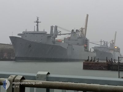
The vessel ALGOL (IMO: 7303205, MMSI: 368992000) is a Cargo It's sailing under the flag of [US] USA.
In this page you can find informations about the vessels current position, last detected port calls, and current voyage information. If the vessels is not in coverage by AIS you will find the latest position.
The current position of ALGOL is detected by our AIS receivers and we are not responsible for the reliability of the data. The last position was recorded while the vessel was in Coverage by the Ais receivers of our vessel tracking app.
The current draught of ALGOL as reported by AIS is 9 meters
Weather
| Temperature | 24.5°C / 76.1°F |
|---|---|
| Wind Speed | 12 knots |
| Direction | 272° W |
| Pressure | 1008.1 hPa |
| Humidity | 80.3 % |
| Cloud Coverage | 12 % |
Featured Company
Last Port Calls
| Port | Arrival | Departure | Time In Port |
|---|---|---|---|
| 2024-06-13 19:50 |
Most Visited Ports (Last year)
| Port | Arrivals |
|---|
Last Trips
| Origin | Departure | Destination | Arrival | Distance |
|---|
Events
| Time | Event | Details | Position / Dest | Info |
|---|---|---|---|---|
| 2024-06-15 08:43 | Status Changed | Default Under way using engine |
29.93726 / -118.18619
PANAMA
|
Speed: 18.2 kn Course: 141.9° |
| 2024-06-15 08:35 | OUT of Coverage |
29.97005 / -118.21560
North Pacific Ocean
|
Speed: 18.2 kn Course: 141.9° |
|
| 2024-06-15 08:24 | Status Changed | Under way using engine Default |
30.01183 / -118.25235
PANAMA
|
Speed: 18 kn Course: 142° |
| 2024-06-15 08:15 | Status Changed | Default Under way using engine |
30.05268 / -118.28814
PANAMA
|
Speed: 18.5 kn Course: 142.9° |
| 2024-06-15 08:10 | Status Changed | Under way using engine Default |
30.07344 / -118.30614
PANAMA
|
Speed: 18 kn Course: 143° |
| 2024-06-15 08:02 | Status Changed | Default Under way using engine |
30.10442 / -118.33298
PANAMA
|
Speed: 18.5 kn Course: 142.1° |
| 2024-06-15 07:57 | Status Changed | Under way using engine Default |
30.12466 / -118.35055
PANAMA
|
Speed: 18.5 kn Course: 142° |
| 2024-06-15 07:51 | Status Changed | Default Under way using engine |
30.15036 / -118.37283
PANAMA
|
Speed: 18.5 kn Course: 143° |
| 2024-06-15 07:38 | Status Changed | Under way using engine Default |
30.20256 / -118.41764
PANAMA
|
Speed: 18 kn Course: 142° |
| 2024-06-15 07:30 | Status Changed | Default Under way using engine |
30.23667 / -118.44666
PANAMA
|
Speed: 18.7 kn Course: 141.8° |