
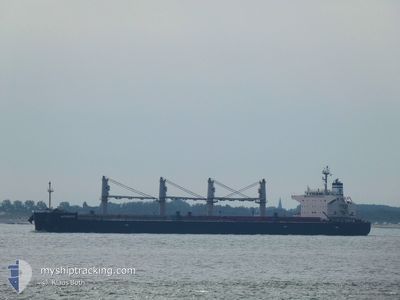
APHROS
Bulk Carrier
Current Trip
| Time Travelled | 19 days |
|---|---|
| Remaining Time | --- |
| Distance Travelled | 3926.79 nm |
| Remaining Distance | --- |
| AVG Speed | 10.8 Knots |
| MAX Speed | 13.2 Knots |
| AVG Wind | 13 knots |
| MAX Wind | 25.9 knots |
| MIN Temp | 19.1°C / 66.38°F |
| MAX Temp | 29.3°C / 84.74°F |
| Draught | 12.6 m |
| Position Received | 8 h, 6 m ago |
Current Position
| Longitude | -13.76238° |
|---|---|
| Latitude | 29.49774° |
| Status | Under way using engine |
| Speed | 10.1 Knots |
| Course | 44.7° |
| Area | North Atlantic Ocean |
| Station | T-AIS |
| Position Received | 8 h, 6 m ago |
Info
Information
The current position of APHROS is in North Atlantic Ocean with coordinates 29.49774° / -13.76238° as reported on 2024-05-31 20:36 by AIS to our vessel tracker app. The vessel's current speed is 10.1 Knots and is heading at the port of DAMIETTA. The estimated time of arrival as calculated by vessel tracking app is 2024-06-09 09:00 LT
The vessel APHROS (IMO: 9460514, MMSI: 538009257) is a Bulk Carrier that was built in 2013 ( 11 years old ). It's sailing under the flag of [MH] Marshall Is.
In this page you can find informations about the vessels current position, last detected port calls, and current voyage information. If the vessels is not in coverage by AIS you will find the latest position.
The current position of APHROS is detected by our AIS receivers and we are not responsible for the reliability of the data. The last position was recorded while the vessel was in Coverage by the Ais receivers of our vessel tracking app.
The current draught of APHROS as reported by AIS is 12.6 meters
Weather
| Temperature | 19°C / 66.2°F |
|---|---|
| Wind Speed | 15 knots |
| Direction | 352° N |
| Pressure | 1011.4 hPa |
| Humidity | 90.6 % |
| Cloud Coverage | 1 % |
Featured Company
Events
| Time | Event | Details | Position / Dest | Info |
|---|---|---|---|---|
| 2024-05-31 20:43 | Status Changed | Default Under way using engine |
29.51130 / -13.74657
EGDAM
|
Speed: 10.1 kn Course: 44.7° |
| 2024-05-31 20:36 | OUT of Coverage |
29.49774 / -13.76238
North Atlantic Ocean
EGDAM
|
Speed: 10.1 kn Course: 44.7° |
|
| 2024-05-31 20:16 | Status Changed | Under way using engine Default |
29.45839 / -13.80770
EGDAM
|
Speed: 10.1 kn Course: 45° |
| 2024-05-31 20:06 | Status Changed | Default Under way using engine |
29.43940 / -13.82905
EGDAM
|
Speed: 10.2 kn Course: 46.4° |
| 2024-05-31 20:00 | Status Changed | Under way using engine Default |
29.42787 / -13.84244
EGDAM
|
Speed: 10.1 kn Course: 45° |
| 2024-05-31 19:55 | Status Changed | Default Under way using engine |
29.41684 / -13.85544
EGDAM
|
Speed: 10 kn Course: 45.5° |
| 2024-05-31 19:29 | Status Changed | Under way using engine Default |
29.36861 / -13.91376
EGDAM
|
Speed: 10 kn Course: 47° |
| 2024-05-31 19:26 | Status Changed | Default Under way using engine |
29.36166 / -13.92224
EGDAM
|
Speed: 10 kn Course: 46.5° |
| 2024-05-31 19:19 | Status Changed | Under way using engine Default |
29.34864 / -13.93819
EGDAM
|
Speed: 10 kn Course: 46° |
| 2024-05-31 19:13 | Status Changed | Default Under way using engine |
29.33654 / -13.95299
EGDAM
|
Speed: 10 kn Course: 46.3° |