
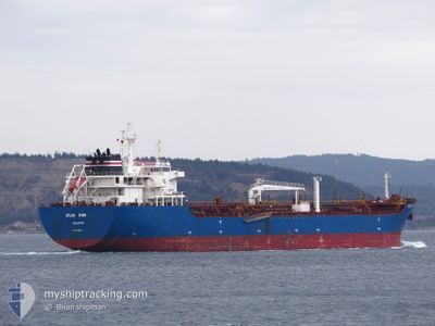
ATLAS STAR
Oil/Chemical Tanker
Current Trip
QUESSANT
| Time Travelled | 4 days |
|---|---|
| Remaining Time | --- |
| Distance Travelled | 860.83 nm |
| Remaining Distance | --- |
| AVG Speed | 10.4 Knots |
| MAX Speed | 14.8 Knots |
| AVG Wind | 8.7 knots |
| MAX Wind | 14 knots |
| MIN Temp | 12.9°C / 55.22°F |
| MAX Temp | 25.7°C / 78.26°F |
| Draught | 7.3 m |
| Position Received | 1 d ago |
Current Position
| Longitude | -9.80972° |
|---|---|
| Latitude | 42.06560° |
| Status | Under way using engine |
| Speed | 13.2 Knots |
| Course | 3° |
| Area | North Atlantic Ocean |
| Station | T-AIS |
| Position Received | 1 d ago |
Info
Information
The current position of ATLAS STAR is in North Atlantic Ocean with coordinates 42.06560° / -9.80972° as reported on 2024-06-04 15:37 by AIS to our vessel tracker app. The vessel's current speed is 13.2 Knots
The vessel ATLAS STAR (IMO: 9376828, MMSI: 636022888) is a Oil/Chemical Tanker that was built in 2008 ( 16 years old ). It's sailing under the flag of [LR] Liberia.
In this page you can find informations about the vessels current position, last detected port calls, and current voyage information. If the vessels is not in coverage by AIS you will find the latest position.
The current position of ATLAS STAR is detected by our AIS receivers and we are not responsible for the reliability of the data. The last position was recorded while the vessel was in Coverage by the Ais receivers of our vessel tracking app.
The current draught of ATLAS STAR as reported by AIS is 7.3 meters
Weather
| Temperature | 13.2°C / 55.76°F |
|---|---|
| Wind Speed | 7 knots |
| Direction | 293° WNW |
| Pressure | 1019.4 hPa |
| Humidity | 68.6 % |
| Cloud Coverage | 68 % |
Featured Company
Events
| Time | Event | Details | Position / Dest | Info |
|---|---|---|---|---|
| 2024-06-04 15:43 | Status Changed | Default Under way using engine |
42.08543 / -9.80838
QUESSANT
|
Speed: 13.2 kn Course: 3° |
| 2024-06-04 15:37 | OUT of Coverage |
42.06560 / -9.80972
North Atlantic Ocean
QUESSANT
|
Speed: 13.2 kn Course: 3° |
|
| 2024-06-04 15:35 | Status Changed | Under way using engine Default |
42.05886 / -9.81012
QUESSANT
|
Speed: 13.3 kn Course: 358° |
| 2024-06-04 15:13 | Status Changed | Default Under way using engine |
41.97656 / -9.81122
QUESSANT
|
Speed: 13.1 kn Course: 357° |
| 2024-06-04 15:03 | Status Changed | Under way using engine Default |
41.93744 / -9.80997
QUESSANT
|
Speed: 13 kn Course: 358° |
| 2024-06-04 15:01 | Status Changed | Default Under way using engine |
41.93136 / -9.80969
QUESSANT
|
Speed: 13.1 kn Course: 359° |
| 2024-06-04 14:20 | Change Sea Area | Spanish part of the North Atlantic Ocean Portuguese part of the North Atlantic Ocean |
41.78291 / -9.80639
North Atlantic Ocean
QUESSANT
|
Speed: 12.8 kn Course: 0° |
| 2024-06-04 13:46 | Status Changed | Under way using engine Default |
41.66157 / -9.80953
QUESSANT
|
Speed: 13.4 kn Course: 1° |
| 2024-06-04 13:33 | Status Changed | Default Under way using engine |
41.61112 / -9.81068
QUESSANT
|
Speed: 13.3 kn Course: 2° |
| 2024-06-04 13:18 | Status Changed | Under way using engine Default |
41.55712 / -9.81258
QUESSANT
|
Speed: 13.2 kn Course: 1° |