
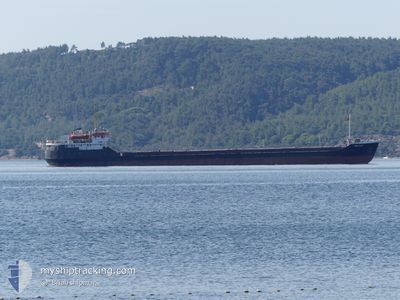
BELFAST
General Cargo
Current Trip
| Time Travelled | 21 days |
|---|---|
| Remaining Time | --- |
| Distance Travelled | 1598.87 nm |
| Remaining Distance | --- |
| AVG Speed | 6.9 Knots |
| MAX Speed | 6.9 Knots |
| AVG Wind | 8.8 knots |
| MAX Wind | 19.9 knots |
| MIN Temp | 8.1°C / 46.58°F |
| MAX Temp | 29.9°C / 85.82°F |
| Draught | 2.6 m |
| Position Received | 18 d ago |
Current Position
| Longitude | 29.41619° |
|---|---|
| Latitude | 41.28440° |
| Status | Under way using engine |
| Speed | 7.6 Knots |
| Course | 89.8° |
| Area | Black Sea |
| Station | T-AIS |
| Position Received | 18 d ago |
Info
Information
The current position of BELFAST is in Black Sea with coordinates 41.28440° / 29.41619° as reported on 2024-05-15 09:55 by AIS to our vessel tracker app. The vessel's current speed is 7.6 Knots and is heading at the port of ROSTOV-ON-DON. The estimated time of arrival as calculated by vessel tracking app is 2024-05-17 14:00 LT
The vessel BELFAST (IMO: 8035166, MMSI: 677073600) is a General Cargo that was built in 1982 ( 42 years old ). It's sailing under the flag of [TZ] Tanzania.
In this page you can find informations about the vessels current position, last detected port calls, and current voyage information. If the vessels is not in coverage by AIS you will find the latest position.
The current position of BELFAST is detected by our AIS receivers and we are not responsible for the reliability of the data. The last position was recorded while the vessel was in Coverage by the Ais receivers of our vessel tracking app.
The current draught of BELFAST as reported by AIS is 2.6 meters
Weather
| Temperature | 20.8°C / 69.44°F |
|---|---|
| Wind Speed | 8 knots |
| Direction | 183° S |
| Pressure | 1018.3 hPa |
| Humidity | 77.6 % |
| Cloud Coverage | 15 % |
Featured Company
Last Trips
| Origin | Departure | Destination | Arrival | Distance | |
|---|---|---|---|---|---|
| 2024-04-07 02:43 | 2024-05-09 19:40 | 2145.39 nm | |||
| 2024-03-28 11:15 | 2024-04-05 15:44 | 1022.88 nm |
Events
| Time | Event | Details | Position / Dest | Info |
|---|---|---|---|---|
| 2024-06-02 02:34 | START Moving |
45.03546 / 33.97563
ROSTOV
|
Speed: 54.1 kn Course: 283° |
|
| 2024-06-02 01:13 | START Moving |
45.03464 / 33.97728
ROSTOV
|
Speed: 53.9 kn Course: 331° |
|
| 2024-06-02 00:21 | STOP Moving |
45.03352 / 33.96614
ROSTOV
|
Speed: Course: 245° |
|
| 2024-05-31 11:22 | STOP Moving | 8.24 nm, North of PORT CRIMEA |
45.50015 / 36.62505
ROSTOV
|
Speed: 0.3 kn Course: 8° |
| 2024-05-31 11:12 | START Moving | 9.06 nm, North of PORT CRIMEA |
45.51383 / 36.62203
ROSTOV
|
Speed: 43 kn Course: 354° |
| 2024-05-31 10:09 | STOP Moving | 8.25 nm, North of PORT CRIMEA |
45.50038 / 36.62553
ROSTOV
|
Speed: 0.3 kn Course: 350° |