
DALI
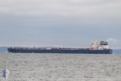
Tanker
Current Trip
| Time Travelled | 9 days |
|---|---|
| Remaining Time | --- |
| Distance Travelled | 2320.40 nm |
| Remaining Distance | --- |
| AVG Speed | 11.6 Knots |
| MAX Speed | 14.4 Knots |
| AVG Wind | 14.5 knots |
| MAX Wind | 23 knots |
| MIN Temp | 11.1°C / 51.98°F |
| MAX Temp | 22°C / 71.6°F |
| Draught | 13.7 m |
| Position Received | 2 d ago |
Current Position
| Longitude | -3.15088° |
|---|---|
| Latitude | 36.26493° |
| Status | Under way using engine |
| Speed | 11.6 Knots |
| Course | 85° |
| Area | Alboran Sea |
| Station | T-AIS |
| Position Received | 2 d ago |
Info
Information
The current position of DALI is in Alboran Sea with coordinates 36.26493° / -3.15088° as reported on 2024-05-31 20:02 by AIS to our vessel tracker app. The vessel's current speed is 11.6 Knots and is heading at the port of CONSTANTA. The estimated time of arrival as calculated by vessel tracking app is 2024-06-07 23:00 LT
The vessel DALI (IMO: 9787936, MMSI: 319147800) is a Tanker It's sailing under the flag of [KY] Cayman Is.
In this page you can find informations about the vessels current position, last detected port calls, and current voyage information. If the vessels is not in coverage by AIS you will find the latest position.
The current position of DALI is detected by our AIS receivers and we are not responsible for the reliability of the data. The last position was recorded while the vessel was in Coverage by the Ais receivers of our vessel tracking app.
The current draught of DALI as reported by AIS is 13.7 meters
Weather
| Temperature | 19.9°C / 67.82°F |
|---|---|
| Wind Speed | 13 knots |
| Direction | 306° NW |
| Pressure | 1015.9 hPa |
| Humidity | 67.3 % |
| Cloud Coverage | 100 % |
Featured Company
Most Visited Ports (Last year)
| Port | Arrivals | |
|---|---|---|
| 3 | ||
| 2 | ||
| 2 | ||
| 1 | ||
| 1 | ||
| 1 |
Last Trips
| Origin | Departure | Destination | Arrival | Distance | |
|---|---|---|---|---|---|
| 2024-05-08 01:26 | 2024-05-23 14:17 | 3565.09 nm | |||
| 2024-04-30 18:01 | 2024-05-06 15:44 | 1058.46 nm | |||
| 2024-04-16 01:13 | 2024-04-29 09:35 | 3853.66 nm | |||
| 2024-04-06 02:47 | 2024-04-14 13:16 | 606.75 nm | |||
| 2024-02-27 09:49 | 2024-04-04 22:56 | 7280.00 nm |
Events
| Time | Event | Details | Position / Dest | Info |
|---|---|---|---|---|
| 2024-05-31 20:06 | Status Changed | Default Under way using engine |
36.26500 / -3.13167
ROCND
|
Speed: 11.6 kn Course: 85° |
| 2024-05-31 20:02 | Status Changed | Under way using engine Default |
36.26493 / -3.15088
ROCND
|
Speed: 11 kn Course: 84° |
| 2024-05-31 20:02 | OUT of Coverage |
36.26493 / -3.15088
Alboran Sea
ROCND
|
Speed: 11.6 kn Course: 85° |
|
| 2024-05-31 19:53 | Status Changed | Default Under way using engine |
36.26188 / -3.18601
ROCND
|
Speed: 11.7 kn Course: 83.6° |
| 2024-05-31 19:48 | Status Changed | Under way using engine Default |
36.26017 / -3.20657
ROCND
|
Speed: 11 kn Course: 81° |
| 2024-05-31 19:42 | Status Changed | Default Under way using engine |
36.25667 / -3.22833
ROCND
|
Speed: 11.6 kn Course: 82.6° |
| 2024-05-31 19:23 | Status Changed | Under way using engine Default |
36.24640 / -3.32827
ROCND
|
Speed: 11.6 kn Course: 81° |
| 2024-05-31 19:19 | Status Changed | Default Under way using engine |
36.24750 / -3.31902
ROCND
|
Speed: 11.7 kn Course: 82.2° |
| 2024-05-31 19:12 | Status Changed | Under way using engine Default |
36.24391 / -3.34950
ROCND
|
Speed: 11.7 kn Course: 81° |
| 2024-05-31 19:08 | Status Changed | Default Under way using engine |
36.24221 / -3.36297
ROCND
|
Speed: 11.7 kn Course: 81.5° |