
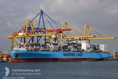
DIMITRIS Y
Container Ship
Current Trip
CNJLY
| Time Travelled | 6 days |
|---|---|
| Remaining Time | --- |
| Distance Travelled | 1851.63 nm |
| Remaining Distance | --- |
| AVG Speed | 13.2 Knots |
| MAX Speed | 16.4 Knots |
| AVG Wind | 9.8 knots |
| MAX Wind | 19 knots |
| MIN Temp | 18.4°C / 65.12°F |
| MAX Temp | 30.6°C / 87.08°F |
| Draught | 8.1 m |
| Position Received | 5 d ago |
Current Position
| Longitude | 117.77491° |
|---|---|
| Latitude | 23.33676° |
| Status | Under way using engine |
| Speed | 14.6 Knots |
| Course | 228.9° |
| Area | South China Sea |
| Station | T-AIS |
| Position Received | 5 d ago |
Info
Information
The current position of DIMITRIS Y is in South China Sea with coordinates 23.33676° / 117.77491° as reported on 2024-05-14 21:43 by AIS to our vessel tracker app. The vessel's current speed is 14.6 Knots
The vessel DIMITRIS Y (IMO: 9189354, MMSI: 636016979) is a Container Ship that was built in 2000 ( 24 years old ). It's sailing under the flag of [LR] Liberia.
In this page you can find informations about the vessels current position, last detected port calls, and current voyage information. If the vessels is not in coverage by AIS you will find the latest position.
The current position of DIMITRIS Y is detected by our AIS receivers and we are not responsible for the reliability of the data. The last position was recorded while the vessel was in Coverage by the Ais receivers of our vessel tracking app.
The current draught of DIMITRIS Y as reported by AIS is 8.1 meters
Weather
| Temperature | 30.1°C / 86.18°F |
|---|---|
| Wind Speed | 11 knots |
| Direction | 188° S |
| Pressure | 1006.3 hPa |
| Humidity | 79.8 % |
| Cloud Coverage | 100 % |
Featured Company
Last Trips
| Origin | Departure | Destination | Arrival | Distance | |
|---|---|---|---|---|---|
| 2024-04-17 19:44 | 2024-04-22 10:28 | 585.10 nm | |||
| 2024-03-07 08:57 | 2024-04-17 07:59 | 14094.45 nm | |||
| 2024-03-06 13:01 | 2024-03-06 18:34 | 60.78 nm | |||
| 2024-03-03 13:39 | 2024-03-06 01:44 | 921.37 nm |
Events
| Time | Event | Details | Position / Dest | Info |
|---|---|---|---|---|
| 2024-05-20 08:34 | START Moving |
11.45667 / 101.89333
CNJLY
|
Speed: 8 kn Course: 329° |
|
| 2024-05-19 16:31 | STOP Moving |
11.33833 / 101.66666
CNJLY
|
Speed: Course: -1° |
|
| 2024-05-14 21:48 | Status Changed | Default Under way using engine |
23.32214 / 117.75939
CNJLY
|
Speed: 14.6 kn Course: 228.9° |
| 2024-05-14 21:43 | OUT of Coverage |
23.33676 / 117.77491
South China Sea
|
Speed: 14.6 kn Course: 228.9° |
|
| 2024-05-14 18:08 | Status Changed | Under way using engine Default |
23.87492 / 118.49948
CNJLY
|
Speed: 13.8 kn Course: 233° |
| 2024-05-14 17:53 | IN Coverage |
23.86864 / 118.49042
South China Sea
|
Speed: 13.8 kn Course: 231.9° |
|
| 2024-05-14 01:43 | PORT DEPARTURE |
|
26.40352 / 119.77072
CNJLY
|
Speed: 13.1 kn Course: 130° |
| 2024-05-14 01:20 | START Moving |
26.44975 / 119.70893
[CN] LUOYUAN
|
Speed: 3.7 kn Course: 134° |
|
| 2024-05-13 12:57 | STOP Moving |
26.45128 / 119.70757
[CN] LUOYUAN
|
Speed: 0.2 kn Course: 125° |