
DIOSA MAAT
Sailing
Current Trip
Unknown
Destination Port
ETA*
---
| Time Travelled | --- |
|---|---|
| Remaining Time | --- |
| Distance Travelled | --- |
| Remaining Distance | --- |
| AVG Speed | --- |
| MAX Speed | --- |
| AVG Wind | --- |
| MAX Wind | --- |
| MIN Temp | --- |
| MAX Temp | --- |
| Draught | 0 m |
| Position Received | 1 d ago |
Current Position
| Longitude | -5.27064° |
|---|---|
| Latitude | 36.28972° |
| Status | Default |
| Speed | |
| Course | --- |
| Area | Alboran Sea |
| Station | T-AIS |
| Position Received | 1 d ago |
Info
info
Information
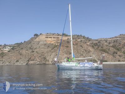
The current position of DIOSA MAAT is in Alboran Sea with coordinates 36.28972° / -5.27064° as reported on 2024-05-31 09:50 by AIS to our vessel tracker app. The vessel's current speed is 0 Knots
The vessel DIOSA MAAT (MMSI: 205609630) is a Sailing It's sailing under the flag of [BE] Belgium.
In this page you can find informations about the vessels current position, last detected port calls, and current voyage information. If the vessels is not in coverage by AIS you will find the latest position.
The current position of DIOSA MAAT is detected by our AIS receivers and we are not responsible for the reliability of the data. The last position was recorded while the vessel was in Coverage by the Ais receivers of our vessel tracking app.
Weather
| Temperature | 19°C / 66.2°F |
|---|---|
| Wind Speed | 11 knots |
| Direction | 76° ENE |
| Pressure | 1010.6 hPa |
| Humidity | 81 % |
| Cloud Coverage | --- |
Featured Company
Limited time offer - Install a base station receiver to your area and list your company on Free forever!
Last Port Calls
Last Trips
| Origin | Departure | Destination | Arrival | Distance |
|---|
Events
| Time | Event | Details | Position / Dest | Info |
|---|---|---|---|---|
| 2024-05-31 09:50 | OUT of Coverage |
36.28972 / -5.27064
Alboran Sea
|
Speed: Course: 511° |
|
| 2024-05-31 09:50 | STOP Moving | 8.91 nm, North East of CAMPAMENTO |
36.28972 / -5.27064
|
Speed: Course: 511° |
| 2024-05-31 09:31 | START Moving | 8.57 nm, North East of CAMPAMENTO |
36.28363 / -5.27203
|
Speed: 3.2 kn Course: 160.8° |
| 2024-05-31 08:29 | STOP Moving | 8.8 nm, North East of CAMPAMENTO |
36.28740 / -5.27042
|
Speed: 0.1 kn Course: 511° |
| 2024-05-31 07:21 | IN Coverage |
36.31604 / -5.18549
Alboran Sea
|
Speed: 4.8 kn Course: 236.8° |