
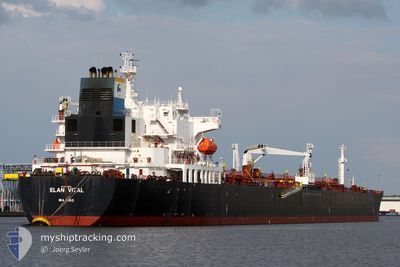
ELAN VITAL
Crude Oil Tanker
Current Trip
| Time Travelled | 21 days |
|---|---|
| Remaining Time | --- |
| Distance Travelled | 726.13 nm |
| Remaining Distance | --- |
| AVG Speed | 12.1 Knots |
| MAX Speed | 16.5 Knots |
| AVG Wind | 9.6 knots |
| MAX Wind | 24.9 knots |
| MIN Temp | 13.2°C / 55.76°F |
| MAX Temp | 27.5°C / 81.5°F |
| Draught | 8 m |
| Position Received | 6 m ago |
Current Position
| Longitude | 19.44066° |
|---|---|
| Latitude | 36.32038° |
| Status | Under way using engine |
| Speed | 13.3 Knots |
| Course | 270.3° |
| Area | Mediterranean Sea - Eastern Basin |
| Station | T-AIS |
| Position Received | 6 m ago |
Info
Information
The current position of ELAN VITAL is in Mediterranean Sea - Eastern Basin with coordinates 36.32038° / 19.44066° as reported on 2024-06-08 15:13 by AIS to our vessel tracker app. The vessel's current speed is 13.3 Knots and is heading at the port of SKAGEN. The estimated time of arrival as calculated by vessel tracking app is 2024-06-19 13:00 LT
The vessel ELAN VITAL (IMO: 9252943, MMSI: 538001893) is a Crude Oil Tanker that was built in 2003 ( 21 years old ). It's sailing under the flag of [MH] Marshall Is.
In this page you can find informations about the vessels current position, last detected port calls, and current voyage information. If the vessels is not in coverage by AIS you will find the latest position.
The current position of ELAN VITAL is detected by our AIS receivers and we are not responsible for the reliability of the data. The last position was recorded while the vessel was in Coverage by the Ais receivers of our vessel tracking app.
The current draught of ELAN VITAL as reported by AIS is 8 meters
Weather
| Temperature | 23.8°C / 74.84°F |
|---|---|
| Wind Speed | 10 knots |
| Direction | 308° NW |
| Pressure | 1013.2 hPa |
| Humidity | 75 % |
| Cloud Coverage | 2 % |
Featured Company
Events
| Time | Event | Details | Position / Dest | Info |
|---|---|---|---|---|
| 2024-06-08 15:11 | Status Changed | Under way using engine Default |
36.32028 / 19.44976
SKAW
|
Speed: 13.3 kn Course: 271° |
| 2024-06-08 15:09 | Status Changed | Default Under way using engine |
36.32023 / 19.45892
SKAW
|
Speed: 13.2 kn Course: 270.5° |
| 2024-06-08 14:55 | Status Changed | Under way using engine Default |
36.31972 / 19.52488
SKAW
|
Speed: 13.3 kn Course: 270° |
| 2024-06-08 14:49 | Status Changed | Default Under way using engine |
36.31953 / 19.55148
SKAW
|
Speed: 13.3 kn Course: 270.4° |
| 2024-06-08 14:43 | Status Changed | Under way using engine Default |
36.31926 / 19.58055
SKAW
|
Speed: 13.4 kn Course: 271° |
| 2024-06-08 14:13 | Status Changed | Default Under way using engine |
36.31894 / 19.71867
SKAW
|
Speed: 13.3 kn Course: 270.1° |
| 2024-06-08 13:59 | Status Changed | Under way using engine Default |
36.31886 / 19.77997
SKAW
|
Speed: 13.4 kn Course: 270° |
| 2024-06-08 13:29 | Status Changed | Default Under way using engine |
36.31811 / 19.92044
SKAW
|
Speed: 13.2 kn Course: 267° |
| 2024-06-08 13:21 | Status Changed | Under way using engine Default |
36.31874 / 19.95471
SKAW
|
Speed: 13.2 kn Course: 267° |
| 2024-06-08 13:01 | Status Changed | Default Under way using engine |
36.32245 / 20.04479
SKAW
|
Speed: 13.3 kn Course: 267.8° |