
FINNANGER
Oil/Chemical Tanker
Current Trip
| Time Travelled | 12 days |
|---|---|
| Remaining Time | 3 days |
| Distance Travelled | 2521.77 nm |
| Remaining Distance | 883.45 nm |
| AVG Speed | 11.6 Knots |
| MAX Speed | 14.4 Knots |
| AVG Wind | 8.4 knots |
| MAX Wind | 16.9 knots |
| MIN Temp | 24.1°C / 75.38°F |
| MAX Temp | 29.8°C / 85.64°F |
| Draught | 11.8 m |
| Position Received | 3 d ago |
Current Position
| Longitude | -79.93877° |
|---|---|
| Latitude | 9.44921° |
| Status | At anchor |
| Speed | |
| Course | 251° |
| Area | Caribbean Sea |
| Station | T-AIS |
| Position Received | 3 d ago |
Info
Information
The current position of FINNANGER is in Caribbean Sea with coordinates 9.44921° / -79.93877° as reported on 2024-05-29 06:31 by AIS to our vessel tracker app. The vessel's current speed is 0 Knots and is heading at the port of CRISTOBAL. The estimated time of arrival as calculated by vessel tracking app is 2024-06-04 23:46 LT
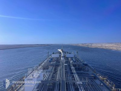
The vessel FINNANGER (IMO: 9387712, MMSI: 257405000) is a Oil/Chemical Tanker that was built in 2009 ( 15 years old ). It's sailing under the flag of [NO] Norway.
In this page you can find informations about the vessels current position, last detected port calls, and current voyage information. If the vessels is not in coverage by AIS you will find the latest position.
The current position of FINNANGER is detected by our AIS receivers and we are not responsible for the reliability of the data. The last position was recorded while the vessel was in Coverage by the Ais receivers of our vessel tracking app.
The current draught of FINNANGER as reported by AIS is 11.8 meters
Weather
| Temperature | 28.9°C / 84.02°F |
|---|---|
| Wind Speed | 4 knots |
| Direction | 152° SSE |
| Pressure | 1008.4 hPa |
| Humidity | 73.3 % |
| Cloud Coverage | 96 % |
Featured Company
Events
| Time | Event | Details | Position / Dest | Info |
|---|---|---|---|---|
| 2024-05-30 00:28 | START Moving | 2.21 nm, North of RODMAN |
8.99060 / -79.58560
PACTB
|
Speed: 3.1 kn Course: 147° |
| 2024-05-29 21:25 | STOP Moving | 4.52 nm, North West of RODMAN |
9.01892 / -79.61533
PACTB
|
Speed: 0.3 kn Course: 132° |
| 2024-05-29 17:59 | START Moving | 5.2 nm, South of CRISTOBAL |
9.26051 / -79.92452
PACTB
|
Speed: 3.3 kn Course: 181° |
| 2024-05-29 15:14 | STOP Moving | 4 nm, South of CRISTOBAL |
9.28055 / -79.92178
PACTB
|
Speed: Course: 188° |
| 2024-05-29 12:15 | START Moving | 4.79 nm, North West of COLON |
9.44416 / -79.92489
PACTB
|
Speed: 5.8 kn Course: 103° |
| 2024-05-29 06:35 | Status Changed | Default At anchor |
9.44922 / -79.93876
PACTB
|
Speed: Course: 251° |
| 2024-05-29 06:31 | Status Changed | At anchor Default |
9.44921 / -79.93877
PACTB
|
Speed: Course: -1° |
| 2024-05-29 06:31 | OUT of Coverage |
9.44921 / -79.93877
Caribbean Sea
|
Speed: Course: 252° |
|
| 2024-05-29 06:11 | Status Changed | Default At anchor |
9.44923 / -79.93881
PACTB
|
Speed: Course: 251° |
| 2024-05-29 05:56 | Status Changed | At anchor Default |
9.44917 / -79.93871
PACTB
|
Speed: Course: 247° |