
GRAMBA
Cargo
Current Trip
| Time Travelled | 13 days |
|---|---|
| Remaining Time | --- |
| Distance Travelled | 2233.66 nm |
| Remaining Distance | --- |
| AVG Speed | 11.3 Knots |
| MAX Speed | 15.9 Knots |
| AVG Wind | 14.6 knots |
| MAX Wind | 28.9 knots |
| MIN Temp | 2.7°C / 36.86°F |
| MAX Temp | 15.4°C / 59.72°F |
| Draught | 10.9 m |
| Position Received | 1 d ago |
Current Position
| Longitude | 142.63023° |
|---|---|
| Latitude | -38.93629° |
| Status | Under way using engine |
| Speed | 11.8 Knots |
| Course | 286.5° |
| Area | Great Australian Bight |
| Station | T-AIS |
| Position Received | 1 d ago |
Info
Information
The current position of GRAMBA is in Great Australian Bight with coordinates -38.93629° / 142.63023° as reported on 2024-06-21 03:16 by AIS to our vessel tracker app. The vessel's current speed is 11.8 Knots and is heading at the port of KANDLA. The estimated time of arrival as calculated by vessel tracking app is 2024-07-11 12:00 LT
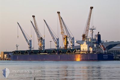
The vessel GRAMBA (IMO: 9917048, MMSI: 563134200) is a Cargo It's sailing under the flag of [SG] Singapore.
In this page you can find informations about the vessels current position, last detected port calls, and current voyage information. If the vessels is not in coverage by AIS you will find the latest position.
The current position of GRAMBA is detected by our AIS receivers and we are not responsible for the reliability of the data. The last position was recorded while the vessel was in Coverage by the Ais receivers of our vessel tracking app.
The current draught of GRAMBA as reported by AIS is 10.9 meters
Weather
| Temperature | 14.9°C / 58.82°F |
|---|---|
| Wind Speed | 23 knots |
| Direction | 287° WNW |
| Pressure | 1014.9 hPa |
| Humidity | 69.9 % |
| Cloud Coverage | 100 % |
Featured Company
Most Visited Ports (Last year)
| Port | Arrivals | |
|---|---|---|
| 3 | ||
| 2 | ||
| 2 | ||
| 1 | ||
| 1 | ||
| 1 |
Events
| Time | Event | Details | Position / Dest | Info |
|---|---|---|---|---|
| 2024-06-21 03:24 | Status Changed | Default Under way using engine |
-38.92876 / 142.60034
INIXY
|
Speed: 11.8 kn Course: 286.5° |
| 2024-06-21 03:16 | OUT of Coverage |
-38.93629 / 142.63023
Great Australian Bight
INIXY
|
Speed: 11.8 kn Course: 286.5° |
|
| 2024-06-20 22:59 | Change Sea Area | Australian part of the Great Australian Bight Australian part of the Bass Strait |
-39.17718 / 143.70376
Great Australian Bight
INIXY
|
Speed: 11.6 kn Course: 275.9° |
| 2024-06-20 22:45 | Status Changed | Under way using engine Default |
-39.18084 / 143.76145
INIXY
|
Speed: 11.5 kn Course: 276° |
| 2024-06-20 22:44 | Status Changed | Default Under way using engine |
-39.18102 / 143.76491
INIXY
|
Speed: 11.5 kn Course: 273.2° |
| 2024-06-20 22:39 | Status Changed | Under way using engine Default |
-39.18230 / 143.78761
INIXY
|
Speed: 11.5 kn Course: 274° |
| 2024-06-20 22:28 | Status Changed | Default Under way using engine |
-39.18422 / 143.83112
INIXY
|
Speed: 11.7 kn Course: 273.2° |
| 2024-06-20 22:19 | Status Changed | Under way using engine Default |
-39.18593 / 143.87073
INIXY
|
Speed: 11.6 kn Course: 274° |
| 2024-06-20 22:04 | IN Coverage |
-39.18571 / 143.86528
Bass Strait
INIXY
|
Speed: 11.8 kn Course: 273.5° |
|
| 2024-06-20 16:10 | OUT of Coverage |
-39.21064 / 145.46216
Bass Strait
INIXY
|
Speed: 12.8 kn Course: 270.1° |