
HARGNE AU COEUR
Fishing
Current Trip
Unknown
| Time Travelled | --- |
|---|---|
| Remaining Time | --- |
| Distance Travelled | 746.49 nm |
| Remaining Distance | --- |
| AVG Speed | 7.2 Knots |
| MAX Speed | 14.3 Knots |
| AVG Wind | 22 knots |
| MAX Wind | 37.8 knots |
| MIN Temp | 7.7°C / 45.86°F |
| MAX Temp | 14.1°C / 57.38°F |
| Draught | 0 m |
| Position Received | 2 h, 57 m ago |
Current Position
| Longitude | -4.77239° |
|---|---|
| Latitude | 48.31230° |
| Status | Default |
| Speed | 9.5 Knots |
| Course | 316.3° |
| Area | Celtic Sea |
| Station | T-AIS |
| Position Received | 2 h, 57 m ago |
Info
Information
The current position of HARGNE AU COEUR is in Celtic Sea with coordinates 48.31230° / -4.77239° as reported on 2024-06-01 16:27 by AIS to our vessel tracker app. The vessel's current speed is 9.5 Knots
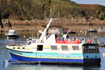
The vessel HARGNE AU COEUR (MMSI: 227562010) is a Fishing It's sailing under the flag of [FR] France.
In this page you can find informations about the vessels current position, last detected port calls, and current voyage information. If the vessels is not in coverage by AIS you will find the latest position.
The current position of HARGNE AU COEUR is detected by our AIS receivers and we are not responsible for the reliability of the data. The last position was recorded while the vessel was in Coverage by the Ais receivers of our vessel tracking app.
Weather
| Temperature | 15.2°C / 59.36°F |
|---|---|
| Wind Speed | 16 knots |
| Direction | 28° NNE |
| Pressure | 1027 hPa |
| Humidity | 70.3 % |
| Cloud Coverage | 18 % |
Featured Company
Last Port Calls
Most Visited Ports (Last year)
| Port | Arrivals |
|---|
Last Trips
| Origin | Departure | Destination | Arrival | Distance |
|---|
Events
| Time | Event | Details | Position / Dest | Info |
|---|---|---|---|---|
| 2024-06-01 16:27 | OUT of Coverage |
48.31230 / -4.77239
Celtic Sea
|
Speed: 9.5 kn Course: 316.3° |
|
| 2024-06-01 09:11 | IN Coverage |
48.22428 / -5.03528
Celtic Sea
|
Speed: 1.5 kn Course: 24° |
|
| 2024-06-01 07:48 | OUT of Coverage |
48.22012 / -5.03946
Celtic Sea
|
Speed: 1.4 kn Course: 172.4° |
|
| 2024-06-01 07:33 | STOP Moving | 10.97 nm, South of MOLENE |
48.22628 / -5.04029
|
Speed: 0.1 kn Course: 511° |
| 2024-06-01 06:10 | IN Coverage |
48.23205 / -5.04591
Celtic Sea
|
Speed: 8.3 kn Course: 191.3° |
|
| 2024-06-01 05:09 | OUT of Coverage |
48.21088 / -5.05181
Celtic Sea
|
Speed: 6.4 kn Course: 54.4° |
|
| 2024-06-01 05:08 | START Moving | 12.12 nm, South of MOLENE |
48.20925 / -5.05484
|
Speed: 6.2 kn Course: 49.2° |
| 2024-06-01 04:10 | STOP Moving | 11.02 nm, South of MOLENE |
48.22885 / -5.05504
|
Speed: 0.2 kn Course: 511° |
| 2024-06-01 03:53 | IN Coverage |
48.23241 / -5.05698
Celtic Sea
|
Speed: 5.2 kn Course: 219.3° |
|
| 2024-06-01 01:48 | OUT of Coverage |
48.26709 / -4.95336
Celtic Sea
|
Speed: 9.1 kn Course: 240.6° |