
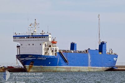
LIDER HALUK
Ro-Ro Cargo
Current Trip
| Time Travelled | 5 days |
|---|---|
| Remaining Time | 1 day |
| Distance Travelled | 1002.06 nm |
| Remaining Distance | 245.97 nm |
| AVG Speed | 8.5 Knots |
| MAX Speed | 11 Knots |
| AVG Wind | 9.6 knots |
| MAX Wind | 24.9 knots |
| MIN Temp | 19.9°C / 67.82°F |
| MAX Temp | 23.1°C / 73.58°F |
| Draught | 4.5 m |
| Position Received | Now |
Current Position
| Longitude | 16.05682° |
|---|---|
| Latitude | 42.40497° |
| Status | Under way sailing |
| Speed | 7.4 Knots |
| Course | 323.1° |
| Area | Adriatic Sea |
| Station | T-AIS |
| Position Received | Now |
Info
Information
The current position of LIDER HALUK is in Adriatic Sea with coordinates 42.40497° / 16.05682° as reported on 2024-06-01 20:47 by AIS to our vessel tracker app. The vessel's current speed is 7.4 Knots and is heading at the port of CHIOGGIA. The estimated time of arrival as calculated by vessel tracking app is 2024-06-03 02:42 LT
The vessel LIDER HALUK (IMO: 8404276, MMSI: 371685000) is a Ro-Ro Cargo that was built in 1985 ( 39 years old ). It's sailing under the flag of [PA] Panama.
In this page you can find informations about the vessels current position, last detected port calls, and current voyage information. If the vessels is not in coverage by AIS you will find the latest position.
The current position of LIDER HALUK is detected by our AIS receivers and we are not responsible for the reliability of the data. The last position was recorded while the vessel was in Coverage by the Ais receivers of our vessel tracking app.
The current draught of LIDER HALUK as reported by AIS is 4.5 meters
Weather
| Temperature | 22.5°C / 72.5°F |
|---|---|
| Wind Speed | 12 knots |
| Direction | 187° S |
| Pressure | 1014.5 hPa |
| Humidity | 75.6 % |
| Cloud Coverage | 100 % |
Featured Company
Last Port Calls
| Port | Arrival | Departure | Time In Port |
|---|---|---|---|
| 2024-05-26 14:19 | 2024-05-27 12:25 | 22 h | |
| 2024-05-18 08:16 | 2024-05-19 13:39 | 1 d | |
| 2024-05-06 16:20 |
Last Trips
| Origin | Departure | Destination | Arrival | Distance | |
|---|---|---|---|---|---|
| 2024-05-19 15:39 | 2024-05-26 16:19 | 1505.64 nm | |||
| 2024-05-06 19:20 | 2024-05-18 10:16 | 1959.82 nm |
Events
| Time | Event | Details | Position / Dest | Info |
|---|---|---|---|---|
| 2024-06-01 18:28 | Detected in Sea | Croatian part of the Adriatic Sea |
42.18082 / 16.35278
Adriatic Sea
ITCHI
|
Speed: 8.2 kn Course: 317.4° |
| 2024-06-01 13:07 | Status Changed | Under way sailing Default |
41.77627 / 17.17847
ITCHI
|
Speed: 8.5 kn Course: 293° |
| 2024-06-01 12:26 | Status Changed | Default Under way sailing |
41.73778 / 17.29698
ITCHI
|
Speed: 8.5 kn Course: 293.6° |
| 2024-06-01 09:16 | Status Changed | Under way sailing Default |
41.56825 / 17.83925
ITCHI
|
Speed: 8.3 kn Course: 292° |
| 2024-06-01 08:51 | Status Changed | Default Under way sailing |
41.54422 / 17.90867
ITCHI
|
Speed: 8.5 kn Course: 321.2° |
| 2024-06-01 08:30 | Status Changed | Under way sailing Default |
41.50487 / 17.95112
ITCHI
|
Speed: 8.5 kn Course: 321° |
| 2024-06-01 08:00 | Status Changed | Default Under way sailing |
41.44862 / 18.01037
ITCHI
|
Speed: 8.4 kn Course: 322° |
| 2024-06-01 07:47 | Status Changed | Under way sailing Default |
41.42473 / 18.03502
ITCHI
|
Speed: 8.4 kn Course: 322° |
| 2024-06-01 07:47 | IN Coverage |
41.42473 / 18.03502
Adriatic Sea
ITCHI
|
Speed: 8.4 kn Course: 322° |
|
| 2024-06-01 02:42 | OUT of Coverage |
40.85348 / 18.61522
Adriatic Sea
ITCHI
|
Speed: 8.6 kn Course: 322.8° |