
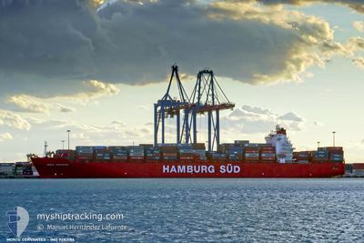
MONTE CERVANTES
Container Ship
Current Trip
| Time Travelled | 11 days |
|---|---|
| Remaining Time | 13 days |
| Distance Travelled | 4735.98 nm |
| Remaining Distance | 5660.94 nm |
| AVG Speed | 17.3 Knots |
| MAX Speed | 19.6 Knots |
| AVG Wind | 12.1 knots |
| MAX Wind | 23 knots |
| MIN Temp | 15.3°C / 59.54°F |
| MAX Temp | 20.4°C / 68.72°F |
| Draught | 11.4 m |
| Position Received | 10 d ago |
Current Position
| Longitude | -11.31137° |
|---|---|
| Latitude | 31.19355° |
| Status | Under way using engine |
| Speed | 19.2 Knots |
| Course | 210.7° |
| Area | North Atlantic Ocean |
| Station | T-AIS |
| Position Received | 10 d ago |
Info
Information
The current position of MONTE CERVANTES is in North Atlantic Ocean with coordinates 31.19355° / -11.31137° as reported on 2024-05-27 23:01 by AIS to our vessel tracker app. The vessel's current speed is 19.2 Knots and is heading at the port of TANJUNG PELEPAS. The estimated time of arrival as calculated by vessel tracking app is 2024-06-20 13:23 LT
The vessel MONTE CERVANTES (IMO: 9283186, MMSI: 563051200) is a Container Ship that was built in 2004 ( 20 years old ). It's sailing under the flag of [SG] Singapore.
In this page you can find informations about the vessels current position, last detected port calls, and current voyage information. If the vessels is not in coverage by AIS you will find the latest position.
The current position of MONTE CERVANTES is detected by our AIS receivers and we are not responsible for the reliability of the data. The last position was recorded while the vessel was in Coverage by the Ais receivers of our vessel tracking app.
The current draught of MONTE CERVANTES as reported by AIS is 11.4 meters
Weather
| Temperature | 15.3°C / 59.54°F |
|---|---|
| Wind Speed | 13 knots |
| Direction | 126° SE |
| Pressure | 1033 hPa |
| Humidity | 63.3 % |
| Cloud Coverage | 100 % |
Featured Company
Last Port Calls
| Port | Arrival | Departure | Time In Port |
|---|---|---|---|
| 2024-05-25 23:28 | 2024-05-26 23:38 | 1 d | |
| 2024-05-21 20:13 | 2024-05-22 13:04 | 16 h | |
| 2024-05-19 12:42 | 2024-05-21 10:28 | 1 d | |
| 2024-05-16 20:28 | 2024-05-18 02:56 | 1 d | |
| 2024-04-16 00:51 | 2024-04-17 10:40 | 1 d | |
| 2024-04-08 23:05 | 2024-04-09 16:15 | 17 h |
Most Visited Ports (Last year)
| Port | Arrivals | |
|---|---|---|
| 11 | ||
| 6 | ||
| 6 | ||
| 6 | ||
| 6 | ||
| 6 |
Last Trips
| Origin | Departure | Destination | Arrival | Distance | |
|---|---|---|---|---|---|
| 2024-05-22 15:04 | 2024-05-26 01:28 | 1443.24 nm | |||
| 2024-05-21 11:28 | 2024-05-21 22:13 | 115.84 nm | |||
| 2024-05-18 03:56 | 2024-05-19 13:42 | 85.05 nm | |||
| 2024-04-17 18:40 | 2024-05-16 21:28 | 10605.40 nm | |||
| 2024-04-10 00:15 | 2024-04-16 08:51 | 25.49 nm | |||
| 2024-03-15 04:03 | 2024-04-09 07:05 | 9078.09 nm |
Events
| Time | Event | Details | Position / Dest | Info |
|---|