
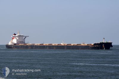
MSXT CAPELLA
Bulk Carrier
Current Trip
TELUK RUBIAH
| Time Travelled | 7 days |
|---|---|
| Remaining Time | --- |
| Distance Travelled | 1284.00 nm |
| Remaining Distance | --- |
| AVG Speed | 9.6 Knots |
| MAX Speed | 12.9 Knots |
| AVG Wind | 9.5 knots |
| MAX Wind | 18 knots |
| MIN Temp | 26.1°C / 78.98°F |
| MAX Temp | 30.9°C / 87.62°F |
| Draught | 11.4 m |
| Position Received | 2 m ago |
Current Position
| Longitude | 100.52021° |
|---|---|
| Latitude | 4.13112° |
| Status | At anchor |
| Speed | |
| Course | 142° |
| Area | Malacca Strait |
| Station | T-AIS |
| Position Received | 2 m ago |
Info
Information
The current position of MSXT CAPELLA is in Malacca Strait with coordinates 4.13112° / 100.52021° as reported on 2024-06-01 06:37 by AIS to our vessel tracker app. The vessel's current speed is 0 Knots
The vessel MSXT CAPELLA (IMO: 9603910, MMSI: 354326000) is a Bulk Carrier that was built in 2012 ( 12 years old ). It's sailing under the flag of [PA] Panama.
In this page you can find informations about the vessels current position, last detected port calls, and current voyage information. If the vessels is not in coverage by AIS you will find the latest position.
The current position of MSXT CAPELLA is detected by our AIS receivers and we are not responsible for the reliability of the data. The last position was recorded while the vessel was in Coverage by the Ais receivers of our vessel tracking app.
The current draught of MSXT CAPELLA as reported by AIS is 11.4 meters
Weather
| Temperature | 29.2°C / 84.56°F |
|---|---|
| Wind Speed | 9 knots |
| Direction | 173° S |
| Pressure | 1009.6 hPa |
| Humidity | 75.8 % |
| Cloud Coverage | 100 % |
Featured Company
Events
| Time | Event | Details | Position / Dest | Info |
|---|---|---|---|---|
| 2024-06-01 04:34 | Status Changed | At anchor Default |
4.12934 / 100.51923
TELUK RUBIAH
|
Speed: Course: -1° |
| 2024-06-01 04:29 | Status Changed | Default At anchor |
4.12833 / 100.51833
TELUK RUBIAH
|
Speed: 0.1 kn Course: 69° |
| 2024-06-01 00:07 | ETA Changed | 2025/05/30 11:00 2024/05/30 11:00 |
4.13003 / 100.51947
TELUK RUBIAH
|
Speed: Course: 113° |
| 2024-05-31 13:19 | Status Changed | At anchor Default |
4.12835 / 100.52420
TELUK RUBIAH
|
Speed: Course: 261° |
| 2024-05-31 13:10 | Status Changed | Default At anchor |
4.12863 / 100.52432
TELUK RUBIAH
|
Speed: Course: 254° |
| 2024-05-31 12:55 | Status Changed | At anchor Default |
4.12910 / 100.52430
TELUK RUBIAH
|
Speed: Course: 256° |
| 2024-05-31 12:43 | Status Changed | Default At anchor |
4.12921 / 100.52439
TELUK RUBIAH
|
Speed: Course: 260° |
| 2024-05-31 12:37 | Status Changed | At anchor Default |
4.12925 / 100.52446
TELUK RUBIAH
|
Speed: Course: -1° |
| 2024-05-31 12:26 | Status Changed | Default At anchor |
4.12833 / 100.52333
TELUK RUBIAH
|
Speed: Course: 254° |
| 2024-05-31 03:04 | Status Changed | At anchor Default |
4.12868 / 100.52422
TELUK RUBIAH
|
Speed: Course: -1° |