
NEW ADVANCE
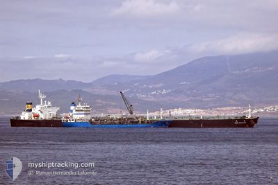
Crude Oil Tanker
Current Trip
| Time Travelled | --- |
|---|---|
| Remaining Time | --- |
| Distance Travelled | 12524.41 nm |
| Remaining Distance | --- |
| AVG Speed | 11.7 Knots |
| MAX Speed | 17.3 Knots |
| AVG Wind | 12.2 knots |
| MAX Wind | 32.8 knots |
| MIN Temp | -1.2°C / 29.84°F |
| MAX Temp | 28.9°C / 84.02°F |
| Draught | 11.7 m |
| Position Received | 3 m ago |
Current Position
| Longitude | -118.07167° |
|---|---|
| Latitude | 33.62184° |
| Status | At anchor |
| Speed | |
| Course | 297° |
| Area | North Pacific Ocean |
| Station | T-AIS |
| Position Received | 3 m ago |
Info
Information
The current position of NEW ADVANCE is in North Pacific Ocean with coordinates 33.62184° / -118.07167° as reported on 2024-06-27 05:53 by AIS to our vessel tracker app. The vessel's current speed is 0 Knots
The vessel NEW ADVANCE (IMO: 9337212, MMSI: 636013611) is a Crude Oil Tanker that was built in 2007 ( 17 years old ). It's sailing under the flag of [LR] Liberia.
In this page you can find informations about the vessels current position, last detected port calls, and current voyage information. If the vessels is not in coverage by AIS you will find the latest position.
The current position of NEW ADVANCE is detected by our AIS receivers and we are not responsible for the reliability of the data. The last position was recorded while the vessel was in Coverage by the Ais receivers of our vessel tracking app.
The current draught of NEW ADVANCE as reported by AIS is 11.7 meters
Weather
| Temperature | 18.5°C / 65.3°F |
|---|---|
| Wind Speed | 2 knots |
| Direction | 212° SSW |
| Pressure | 1013.2 hPa |
| Humidity | 84.2 % |
| Cloud Coverage | 64 % |
Featured Company
Events
| Time | Event | Details | Position / Dest | Info |
|---|---|---|---|---|
| 2024-06-27 04:53 | Status Changed | At anchor Default |
33.62194 / -118.07157
LONGBEACH
|
Speed: Course: 292° |
| 2024-06-27 04:50 | Status Changed | Default At anchor |
33.62194 / -118.07154
LONGBEACH
|
Speed: 0.1 kn Course: 293° |
| 2024-06-27 04:41 | Status Changed | At anchor Default |
33.62188 / -118.07139
LONGBEACH
|
Speed: 0.2 kn Course: 293° |
| 2024-06-27 04:38 | Status Changed | Default At anchor |
33.62188 / -118.07146
LONGBEACH
|
Speed: 0.2 kn Course: 291° |
| 2024-06-27 02:53 | Status Changed | At anchor Default |
33.62205 / -118.07137
LONGBEACH
|
Speed: Course: 287° |
| 2024-06-27 02:50 | Status Changed | Default At anchor |
33.62206 / -118.07137
LONGBEACH
|
Speed: Course: 288° |
| 2024-06-27 01:41 | Status Changed | At anchor Default |
33.62202 / -118.07126
LONGBEACH
|
Speed: 0.1 kn Course: 291° |
| 2024-06-27 01:38 | Status Changed | Default At anchor |
33.62203 / -118.07128
LONGBEACH
|
Speed: Course: 290° |
| 2024-06-26 15:29 | Status Changed | At anchor Default |
33.62307 / -118.07103
LONGBEACH
|
Speed: 0.2 kn Course: 269° |
| 2024-06-26 15:26 | Status Changed | Default At anchor |
33.62303 / -118.07106
LONGBEACH
|
Speed: Course: 269° |