
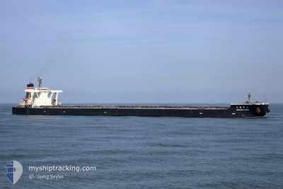
ONOZURU MARU
Bulk Carrier
Current Trip
| Time Travelled | 8 days |
|---|---|
| Remaining Time | --- |
| Distance Travelled | 1829.02 nm |
| Remaining Distance | --- |
| AVG Speed | 9.5 Knots |
| MAX Speed | 14.1 Knots |
| AVG Wind | 16.1 knots |
| MAX Wind | 28.9 knots |
| MIN Temp | 3.7°C / 38.66°F |
| MAX Temp | 13.1°C / 55.58°F |
| Draught | 15 m |
| Position Received | 7 d ago |
Current Position
| Longitude | -126.46070° |
|---|---|
| Latitude | 48.54747° |
| Status | Under way using engine |
| Speed | 9.3 Knots |
| Course | 272.6° |
| Area | North Pacific Ocean |
| Station | T-AIS |
| Position Received | 7 d ago |
Info
Information
The current position of ONOZURU MARU is in North Pacific Ocean with coordinates 48.54747° / -126.46070° as reported on 2024-05-18 14:50 by AIS to our vessel tracker app. The vessel's current speed is 9.3 Knots and is heading at the port of PYEONGTAEK. The estimated time of arrival as calculated by vessel tracking app is 2024-06-08 07:00 LT
The vessel ONOZURU MARU (IMO: 9398137, MMSI: 354043000) is a Bulk Carrier that was built in 2009 ( 15 years old ). It's sailing under the flag of [PA] Panama.
In this page you can find informations about the vessels current position, last detected port calls, and current voyage information. If the vessels is not in coverage by AIS you will find the latest position.
The current position of ONOZURU MARU is detected by our AIS receivers and we are not responsible for the reliability of the data. The last position was recorded while the vessel was in Coverage by the Ais receivers of our vessel tracking app.
The current draught of ONOZURU MARU as reported by AIS is 15 meters
Weather
| Temperature | 3.7°C / 38.66°F |
|---|---|
| Wind Speed | 22 knots |
| Direction | 308° NW |
| Pressure | 1023.2 hPa |
| Humidity | 85 % |
| Cloud Coverage | 100 % |
Featured Company
Last Port Calls
| Port | Arrival | Departure | Time In Port |
|---|---|---|---|
| 2024-05-14 15:22 | 2024-05-17 21:12 | 3 d | |
| 2024-04-17 03:38 | 2024-04-20 02:39 | 2 d | |
| 2024-04-13 08:26 | 2024-04-15 18:18 | 2 d | |
| 2024-03-01 18:01 |
Events
| Time | Event | Details | Position / Dest | Info |
|---|---|---|---|---|
| 2024-05-18 15:02 | Status Changed | Default Under way using engine |
48.54929 / -126.50752
KR PTK
|
Speed: 9.3 kn Course: 272.6° |
| 2024-05-18 14:50 | OUT of Coverage |
48.54747 / -126.46070
North Pacific Ocean
KR PTK
|
Speed: 9.3 kn Course: 272.6° |
|
| 2024-05-18 13:03 | Status Changed | Under way using engine Default |
48.53872 / -126.04547
KR PTK
|
Speed: 9.1 kn Course: 273° |
| 2024-05-18 12:49 | Status Changed | Default Under way using engine |
48.53667 / -125.99333
KR PTK
|
Speed: 9.2 kn Course: 269.2° |
| 2024-05-18 12:44 | Status Changed | Under way using engine Default |
48.53715 / -125.97263
KR PTK
|
Speed: 9 kn Course: 273° |
| 2024-05-18 12:40 | Status Changed | Default Under way using engine |
48.53500 / -125.95834
KR PTK
|
Speed: 9.3 kn Course: 275° |
| 2024-05-18 11:21 | Status Changed | Under way using engine Default |
48.53171 / -125.64589
KR PTK
|
Speed: 9 kn Course: 273° |
| 2024-05-18 11:10 | Status Changed | Default Under way using engine |
48.52833 / -125.60333
KR PTK
|
Speed: 9.6 kn Course: 274.4° |
| 2024-05-18 11:00 | Status Changed | Under way using engine Default |
48.52838 / -125.56472
KR PTK
|
Speed: 9.6 kn Course: 271° |
| 2024-05-18 10:58 | Status Changed | Default Under way using engine |
48.52813 / -125.55473
KR PTK
|
Speed: 9.6 kn Course: 273.7° |