
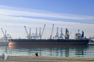
PICTOR
Bulk Carrier
Current Trip
IN KRI
| Time Travelled | 12 days |
|---|---|
| Remaining Time | --- |
| Distance Travelled | 3228.81 nm |
| Remaining Distance | --- |
| AVG Speed | 10.5 Knots |
| MAX Speed | 13.9 Knots |
| AVG Wind | 15.9 knots |
| MAX Wind | 26 knots |
| MIN Temp | 28.3°C / 82.94°F |
| MAX Temp | 36.4°C / 97.52°F |
| Draught | 11.6 m |
| Position Received | 8 d ago |
Current Position
| Longitude | 76.42832° |
|---|---|
| Latitude | 6.59203° |
| Status | Under way using engine |
| Speed | 10 Knots |
| Course | 285° |
| Area | Laccadive Sea |
| Station | T-AIS |
| Position Received | 8 d ago |
Info
Information
The current position of PICTOR is in Laccadive Sea with coordinates 6.59203° / 76.42832° as reported on 2024-05-31 12:46 by AIS to our vessel tracker app. The vessel's current speed is 10 Knots
The vessel PICTOR (IMO: 9254563, MMSI: 636016730) is a Bulk Carrier that was built in 2002 ( 22 years old ). It's sailing under the flag of [LR] Liberia.
In this page you can find informations about the vessels current position, last detected port calls, and current voyage information. If the vessels is not in coverage by AIS you will find the latest position.
The current position of PICTOR is detected by our AIS receivers and we are not responsible for the reliability of the data. The last position was recorded while the vessel was in Coverage by the Ais receivers of our vessel tracking app.
The current draught of PICTOR as reported by AIS is 11.6 meters
Weather
| Temperature | 32.3°C / 90.14°F |
|---|---|
| Wind Speed | 11 knots |
| Direction | 153° SSE |
| Pressure | 1002.6 hPa |
| Humidity | 73.9 % |
| Cloud Coverage | 7 % |
Featured Company
Last Port Calls
| Port | Arrival | Departure | Time In Port |
|---|---|---|---|
| 2024-05-22 16:17 | 2024-05-27 00:15 | 4 d | |
| 2024-04-21 01:24 | 2024-04-24 14:38 | 3 d | |
| 2024-04-15 07:21 | 2024-04-19 11:55 | 4 d |
Most Visited Ports (Last year)
| Port | Arrivals | |
|---|---|---|
| 4 | ||
| 2 | ||
| 2 | ||
| 2 | ||
| 2 | ||
| 1 |
Events
| Time | Event | Details | Position / Dest | Info |
|---|---|---|---|---|
| 2024-05-31 12:54 | Status Changed | Default Under way using engine |
6.59757 / 76.40960
IN KRI
|
Speed: 10 kn Course: 285° |
| 2024-05-31 12:46 | OUT of Coverage |
6.59203 / 76.42832
Laccadive Sea
|
Speed: 10 kn Course: 285° |
|
| 2024-05-31 12:46 | Detected in Sea | Indian part of the Laccadive Sea |
6.59187 / 76.42887
Laccadive Sea
|
Speed: 10 kn Course: 285° |
| 2024-05-31 12:46 | Status Changed | Under way using engine Default |
6.59162 / 76.42973
IN KRI
|
Speed: 10.2 kn Course: 287° |
| 2024-05-31 12:34 | IN Coverage |
6.59187 / 76.42887
Laccadive Sea
|
Speed: 10 kn Course: 285° |
|
| 2024-05-31 10:20 | Status Changed | Default Under way using engine |
6.47152 / 76.83540
IN KRI
|
Speed: 10 kn Course: 287° |
| 2024-05-31 10:12 | Status Changed | Under way using engine Default |
6.46483 / 76.85722
IN KRI
|
Speed: 10.2 kn Course: 286° |
| 2024-05-31 08:53 | Status Changed | Default Under way using engine |
6.42153 / 77.07398
IN KRI
|
Speed: 10.1 kn Course: 278° |
| 2024-05-31 08:48 | OUT of Coverage |
6.41943 / 77.08803
Singapore Strait
|
Speed: 10.1 kn Course: 278° |
|
| 2024-05-31 08:48 | Status Changed | Under way using engine Default |
6.41922 / 77.08937
IN KRI
|
Speed: 10.2 kn Course: 279° |