
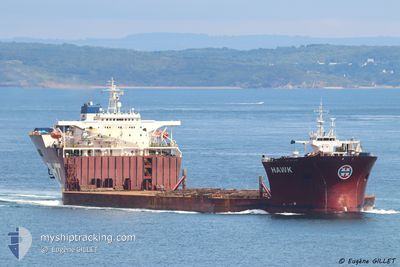
SEAWAY HAWK
Heavy Lift Vessel
Current Trip
PEBG"C"
| Time Travelled | --- |
|---|---|
| Remaining Time | --- |
| Distance Travelled | 4032.70 nm |
| Remaining Distance | --- |
| AVG Speed | 10.1 Knots |
| MAX Speed | 15.2 Knots |
| AVG Wind | 9.3 knots |
| MAX Wind | 25.3 knots |
| MIN Temp | 7.4°C / 45.32°F |
| MAX Temp | 30.4°C / 86.72°F |
| Draught | 9 m |
| Position Received | 1 m ago |
Current Position
| Longitude | 103.90337° |
|---|---|
| Latitude | 1.27988° |
| Status | At anchor |
| Speed | |
| Course | 236° |
| Area | Singapore Strait |
| Station | T-AIS |
| Position Received | 1 m ago |
Info
Information
The current position of SEAWAY HAWK is in Singapore Strait with coordinates 1.27988° / 103.90337° as reported on 2024-05-23 17:58 by AIS to our vessel tracker app. The vessel's current speed is 0 Knots
The vessel SEAWAY HAWK (IMO: 8616556, MMSI: 259848000) is a Heavy Lift Vessel that was built in 1989 ( 35 years old ). It's sailing under the flag of [NO] Norway.
In this page you can find informations about the vessels current position, last detected port calls, and current voyage information. If the vessels is not in coverage by AIS you will find the latest position.
The current position of SEAWAY HAWK is detected by our AIS receivers and we are not responsible for the reliability of the data. The last position was recorded while the vessel was in Coverage by the Ais receivers of our vessel tracking app.
The current draught of SEAWAY HAWK as reported by AIS is 9 meters
Weather
| Temperature | 28.1°C / 82.58°F |
|---|---|
| Wind Speed | 4 knots |
| Direction | 224° SW |
| Pressure | 1008.5 hPa |
| Humidity | 81.1 % |
| Cloud Coverage | 100 % |
Featured Company
Last Port Calls
Most Visited Ports (Last year)
| Port | Arrivals | |
|---|---|---|
| 2 |
Last Trips
| Origin | Departure | Destination | Arrival | Distance |
|---|
Events
| Time | Event | Details | Position / Dest | Info |
|---|---|---|---|---|
| 2024-05-23 07:25 | STOP Moving | 2.99 nm, North East of SINGAPORE |
1.27772 / 103.90009
PEBG"C"
|
Speed: 0.3 kn Course: 65° |
| 2024-05-23 07:16 | Status Changed | At anchor Under way using engine |
1.27769 / 103.90172
PEBG"C"
|
Speed: 0.9 kn Course: 22° |
| 2024-05-23 05:29 | Change Sea Area | Singaporean part of the Singapore Strait Indonesian part of the Singapore Strait |
1.26838 / 104.02913
Singapore Strait
PEBG"C"
|
Speed: 6.6 kn Course: 269.4° |
| 2024-05-23 05:13 | Change Sea Area | Indonesian part of the Singapore Strait Malaysian part of the Singapore Strait |
1.27097 / 104.06742
Singapore Strait
PEBG"C"
|
Speed: 10.4 kn Course: 267.4° |
| 2024-05-23 04:19 | Destination Changed | PEBG"C" SINGAPORE |
1.29029 / 104.21503
PEBG"C"
|
Speed: 9.2 kn Course: 254° |
| 2024-05-23 04:19 | ETA Changed | 2024/05/23 06:00 2024/05/23 03:00 |
1.29029 / 104.21503
PEBG"C"
|
Speed: 9.2 kn Course: 254° |
| 2024-05-23 03:33 | Change Sea Area | Malaysian part of the Singapore Strait Malaysian part of the South China Sea |
1.31416 / 104.32838
Singapore Strait
SINGAPORE
|
Speed: 9.1 kn Course: 238.3° |
| 2024-05-23 03:32 | Status Changed | Under way using engine Default |
1.31563 / 104.33047
SINGAPORE
|
Speed: 8.8 kn Course: 230° |
| 2024-05-23 03:12 | Status Changed | Default Under way using engine |
1.34349 / 104.36284
SINGAPORE
|
Speed: 6.2 kn Course: 228.4° |
| 2024-05-23 03:04 | Detected in Sea | Malaysian part of the South China Sea |
1.35458 / 104.37533
South China Sea
SINGAPORE
|
Speed: 8 kn Course: 229° |