
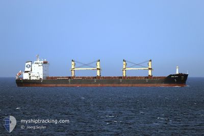
SPAR SPICA
Bulk Carrier
Current Trip
| Time Travelled | 7 days |
|---|---|
| Remaining Time | --- |
| Distance Travelled | 811.19 nm |
| Remaining Distance | --- |
| AVG Speed | 11.2 Knots |
| MAX Speed | 14.6 Knots |
| AVG Wind | 9.9 knots |
| MAX Wind | 21.8 knots |
| MIN Temp | 12.5°C / 54.5°F |
| MAX Temp | 17.4°C / 63.32°F |
| Draught | 9 m |
| Position Received | 1 h, 48 m ago |
Current Position
| Longitude | -4.19053° |
|---|---|
| Latitude | 53.41542° |
| Status | At anchor |
| Speed | |
| Course | 293° |
| Area | Irish Sea and St. George's Channel |
| Station | T-AIS |
| Position Received | 1 h, 48 m ago |
Info
Information
The current position of SPAR SPICA is in Irish Sea and St. George's Channel with coordinates 53.41542° / -4.19053° as reported on 2024-06-26 09:26 by AIS to our vessel tracker app. The vessel's current speed is 0 Knots
The vessel SPAR SPICA (IMO: 9328522, MMSI: 259933000) is a Bulk Carrier that was built in 2005 ( 19 years old ). It's sailing under the flag of [NO] Norway.
In this page you can find informations about the vessels current position, last detected port calls, and current voyage information. If the vessels is not in coverage by AIS you will find the latest position.
The current position of SPAR SPICA is detected by our AIS receivers and we are not responsible for the reliability of the data. The last position was recorded while the vessel was in Coverage by the Ais receivers of our vessel tracking app.
The current draught of SPAR SPICA as reported by AIS is 9 meters
Weather
| Temperature | 15.9°C / 60.62°F |
|---|---|
| Wind Speed | 5 knots |
| Direction | 101° E |
| Pressure | 1011.6 hPa |
| Humidity | 89.8 % |
| Cloud Coverage | 86 % |
Featured Company
Most Visited Ports (Last year)
| Port | Arrivals | |
|---|---|---|
| 3 | ||
| 2 | ||
| 1 | ||
| 1 | ||
| 1 | ||
| 1 |
Last Trips
| Origin | Departure | Destination | Arrival | Distance | |
|---|---|---|---|---|---|
| 2024-04-30 04:24 | 2024-06-15 08:17 | 11679.62 nm | |||
| 2024-04-26 13:04 | 2024-04-27 22:47 | 429.66 nm | |||
| 2024-04-19 23:39 | 2024-04-24 10:12 | 1166.11 nm | |||
| 2024-01-31 13:08 | 2024-04-16 00:39 | 6319.76 nm |
Events
| Time | Event | Details | Position / Dest | Info |
|---|---|---|---|---|
| 2024-06-26 09:35 | Status Changed | Default At anchor |
53.41546 / -4.19043
GB LIV
|
Speed: Course: 293° |
| 2024-06-26 09:26 | Status Changed | At anchor Default |
53.41542 / -4.19053
GB LIV
|
Speed: Course: 290° |
| 2024-06-26 09:26 | OUT of Coverage |
53.41542 / -4.19053
Irish Sea and St. George's Channel
|
Speed: Course: 156.2° |
|
| 2024-06-26 09:17 | Status Changed | Default At anchor |
53.41558 / -4.19048
GB LIV
|
Speed: 0.1 kn Course: 279° |
| 2024-06-26 09:11 | Status Changed | At anchor Default |
53.41574 / -4.19038
GB LIV
|
Speed: Course: 282° |
| 2024-06-26 09:05 | Status Changed | Default At anchor |
53.41577 / -4.19034
GB LIV
|
Speed: Course: 284° |
| 2024-06-26 09:02 | Status Changed | At anchor Default |
53.41574 / -4.19031
GB LIV
|
Speed: Course: 285° |
| 2024-06-26 08:11 | Status Changed | Default At anchor |
53.41768 / -4.19465
GB LIV
|
Speed: 0.2 kn Course: 131° |
| 2024-06-26 08:05 | Status Changed | At anchor Default |
53.41757 / -4.19531
GB LIV
|
Speed: 0.2 kn Course: 127° |
| 2024-06-26 07:26 | Status Changed | Default At anchor |
53.41715 / -4.19552
GB LIV
|
Speed: 0.1 kn Course: 129° |