
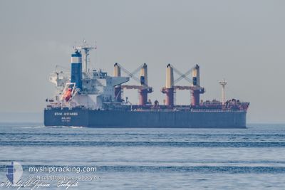
STAR ANTARES
Cargo
Current Trip
| Time Travelled | 50 days |
|---|---|
| Remaining Time | --- |
| Distance Travelled | 8858.83 nm |
| Remaining Distance | --- |
| AVG Speed | 11.2 Knots |
| MAX Speed | 14.7 Knots |
| AVG Wind | 11.1 knots |
| MAX Wind | 24.8 knots |
| MIN Temp | 1.1°C / 33.98°F |
| MAX Temp | 28.2°C / 82.76°F |
| Draught | 12.5 m |
| Position Received | 1 d ago |
Current Position
| Longitude | -41.48343° |
|---|---|
| Latitude | -23.84719° |
| Status | Under way using engine |
| Speed | 13.6 Knots |
| Course | 244.8° |
| Area | South Atlantic Ocean |
| Station | T-AIS |
| Position Received | 1 d ago |
Info
Information
The current position of STAR ANTARES is in South Atlantic Ocean with coordinates -23.84719° / -41.48343° as reported on 2024-06-11 07:37 by AIS to our vessel tracker app. The vessel's current speed is 13.6 Knots
The vessel STAR ANTARES (IMO: 9712694, MMSI: 538006055) is a Cargo It's sailing under the flag of [MH] Marshall Is.
In this page you can find informations about the vessels current position, last detected port calls, and current voyage information. If the vessels is not in coverage by AIS you will find the latest position.
The current position of STAR ANTARES is detected by our AIS receivers and we are not responsible for the reliability of the data. The last position was recorded while the vessel was in Coverage by the Ais receivers of our vessel tracking app.
The current draught of STAR ANTARES as reported by AIS is 12.5 meters
Weather
| Temperature | 20.8°C / 69.44°F |
|---|---|
| Wind Speed | 9 knots |
| Direction | 24° NNE |
| Pressure | 1018.7 hPa |
| Humidity | 90.4 % |
| Cloud Coverage | --- |
Featured Company
Most Visited Ports (Last year)
| Port | Arrivals | |
|---|---|---|
| 2 | ||
| 2 | ||
| 1 | ||
| 1 | ||
| 1 | ||
| 1 |
Events
| Time | Event | Details | Position / Dest | Info |
|---|---|---|---|---|
| 2024-06-12 16:45 | STOP Moving | 10.86 nm, East of ILHA DO MEL |
-25.59081 / -48.11297
BRPNG
|
Speed: 0.3 kn Course: 176° |
| 2024-06-11 07:41 | Status Changed | Default Under way using engine |
-23.85469 / -41.49931
BRPNG
|
Speed: 13.6 kn Course: 244.8° |
| 2024-06-11 07:37 | OUT of Coverage |
-23.84719 / -41.48343
South Atlantic Ocean
BRPNG
|
Speed: 13.6 kn Course: 244.8° |
|
| 2024-06-11 07:10 | Status Changed | Under way using engine Default |
-23.80069 / -41.38648
BRPNG
|
Speed: 13.7 kn Course: 240° |
| 2024-06-11 07:02 | Status Changed | Default Under way using engine |
-23.78556 / -41.35540
BRPNG
|
Speed: 13.6 kn Course: 242.7° |
| 2024-06-11 06:44 | Status Changed | Under way using engine Default |
-23.75359 / -41.29124
BRPNG
|
Speed: 13.5 kn Course: 242° |
| 2024-06-11 06:21 | Status Changed | Default Under way using engine |
-23.71320 / -41.20994
BRPNG
|
Speed: 13.3 kn Course: 242.2° |
| 2024-06-11 05:37 | ETA Changed | 2024/06/12 19:00 2024/06/12 18:00 |
-23.63644 / -41.05169
BRPNG
|
Speed: 13.2 kn Course: 241.6° |
| 2024-06-11 03:48 | Status Changed | Under way using engine Default |
-23.46242 / -40.66253
BRPNG
|
Speed: 13 kn Course: 244° |
| 2024-06-11 03:45 | Status Changed | Default Under way using engine |
-23.45774 / -40.65257
BRPNG
|
Speed: 12.9 kn Course: 242.4° |