
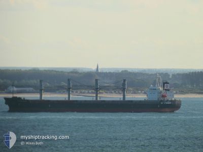
WOOYANG QUEEN
Bulk Carrier
Current Trip
VN VTU
| Time Travelled | 2 days |
|---|---|
| Remaining Time | --- |
| Distance Travelled | 414.58 nm |
| Remaining Distance | --- |
| AVG Speed | 11.3 Knots |
| MAX Speed | 13.2 Knots |
| AVG Wind | 10.1 knots |
| MAX Wind | 14.4 knots |
| MIN Temp | 16.9°C / 62.42°F |
| MAX Temp | 20.4°C / 68.72°F |
| Draught | 11 m |
| Position Received | 1 d ago |
Current Position
| Longitude | 129.43107° |
|---|---|
| Latitude | 34.83617° |
| Status | Under way using engine |
| Speed | 10.4 Knots |
| Course | 227° |
| Area | Japan Sea |
| Station | T-AIS |
| Position Received | 1 d ago |
Info
Information
The current position of WOOYANG QUEEN is in Japan Sea with coordinates 34.83617° / 129.43107° as reported on 2024-05-31 01:10 by AIS to our vessel tracker app. The vessel's current speed is 10.4 Knots
The vessel WOOYANG QUEEN (IMO: 9491680, MMSI: 355886000) is a Bulk Carrier that was built in 2011 ( 13 years old ). It's sailing under the flag of [PA] Panama.
In this page you can find informations about the vessels current position, last detected port calls, and current voyage information. If the vessels is not in coverage by AIS you will find the latest position.
The current position of WOOYANG QUEEN is detected by our AIS receivers and we are not responsible for the reliability of the data. The last position was recorded while the vessel was in Coverage by the Ais receivers of our vessel tracking app.
The current draught of WOOYANG QUEEN as reported by AIS is 11 meters
Weather
| Temperature | 22.6°C / 72.68°F |
|---|---|
| Wind Speed | 9 knots |
| Direction | 31° NNE |
| Pressure | 1011.1 hPa |
| Humidity | 75.5 % |
| Cloud Coverage | 100 % |
Featured Company
Events
| Time | Event | Details | Position / Dest | Info |
|---|---|---|---|---|
| 2024-05-31 01:14 | Status Changed | Default Under way using engine |
34.82932 / 129.42207
VN VTU
|
Speed: 10.4 kn Course: 227° |
| 2024-05-31 01:10 | OUT of Coverage |
34.83617 / 129.43107
Japan Sea
VN VTU
|
Speed: 10.4 kn Course: 227° |
|
| 2024-05-31 00:21 | Draught Changed | 11 10.6 |
34.92194 / 129.56466
VN VTU
|
Speed: 10.5 kn Course: 228° |
| 2024-05-31 00:21 | Destination Changed | VN VTU KR KPO |
34.92194 / 129.56466
VN VTU
|
Speed: 10.5 kn Course: 228° |
| 2024-05-31 00:21 | ETA Changed | 2024/06/07 12:00 2024/05/28 10:00 |
34.92194 / 129.56466
VN VTU
|
Speed: 10.5 kn Course: 228° |
| 2024-05-30 23:54 | Status Changed | Under way using engine Default |
34.97617 / 129.63302
KR KPO
|
Speed: 11 kn Course: 193° |
| 2024-05-30 23:42 | Status Changed | Default Under way using engine |
35.01458 / 129.64345
KR KPO
|
Speed: 10.9 kn Course: 192.3° |
| 2024-05-30 23:34 | Change Sea Area | Japanese part of the Japan Sea South Korean part of the Japan Sea |
35.03585 / 129.64929
Japan Sea
|
Speed: 10.9 kn Course: 192.6° |
| 2024-05-30 23:14 | Status Changed | Under way using engine Default |
35.09745 / 129.66504
KR KPO
|
Speed: 11.1 kn Course: 194° |
| 2024-05-30 23:05 | Status Changed | Default Under way using engine |
35.12398 / 129.67288
KR KPO
|
Speed: 11 kn Course: 194.4° |